gordons mill
Location
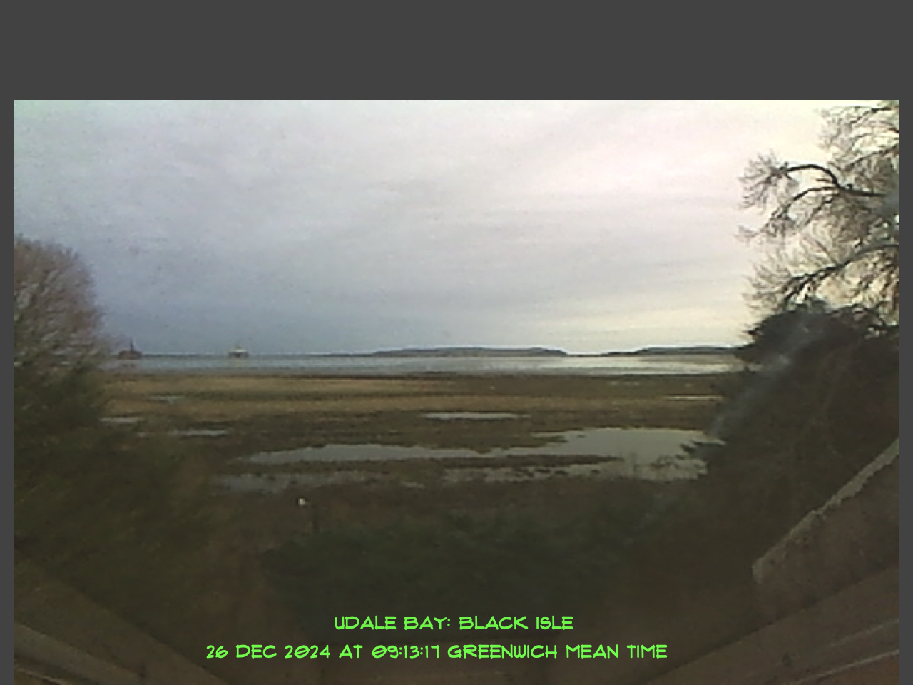
Gordons Mill, on the Black Isle just west of Udale Bay, is some 10 kilometres west of Cromarty.
Gordons Mill is at the end of a private track off the main road (B9163) from Balblair to Newhall Bridge. This track cuts south east towards the largest building which is the mill, converted for domestic use in 2 tranches - the mill in 1992 and the kiln in 1997.
Other buildings along the track consist of a renovated cottage and outbuildings and two more modern dwellings built in 2004. The road leads ultimately to gates to a field and dyke system bordering Udale Bay reserve, which is owned and managed by the RSPB.
Gordon the cat and the Mill
by Iso Meldrum 1998
History
The mill is known to have existed from 1796 (date on skew-put). The ruinous Kirkmichael (kirk) is about 1 kilometre to the north and the area has many iron and bronze age remains. Pictish communities thrived on the surrounding coastlines. Norse influence is evident from the nearby bays name - Udale Bay (odal -old Norse for freehold) and in the name of the county town; Dingwall, about 12 kilometers distant.
It has been used for different purposes during the last 210 years: as a corn and barley mill, a saw mill, wool carding mill, and possibly even snuff before being converted into domestic apartments in 1992 from what was then farm storage buildings.
Topography
The area round the Mill is low lying and has sand / clay bedding relevant to a normal estuarine area. The height is 4.5 metres above Chart Datum. Newhall Burn drains into Udale Bay and it was this and the Camilty burn that originally filled the millpond and eventually, via a long sluice, rotated the undershot wheel. The discharge is directed back to Newhall burn as it leaves the wooded area to the north east.